Surroundings

Madonna of Utelle

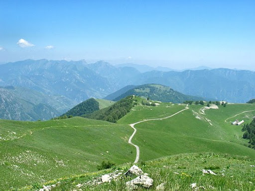
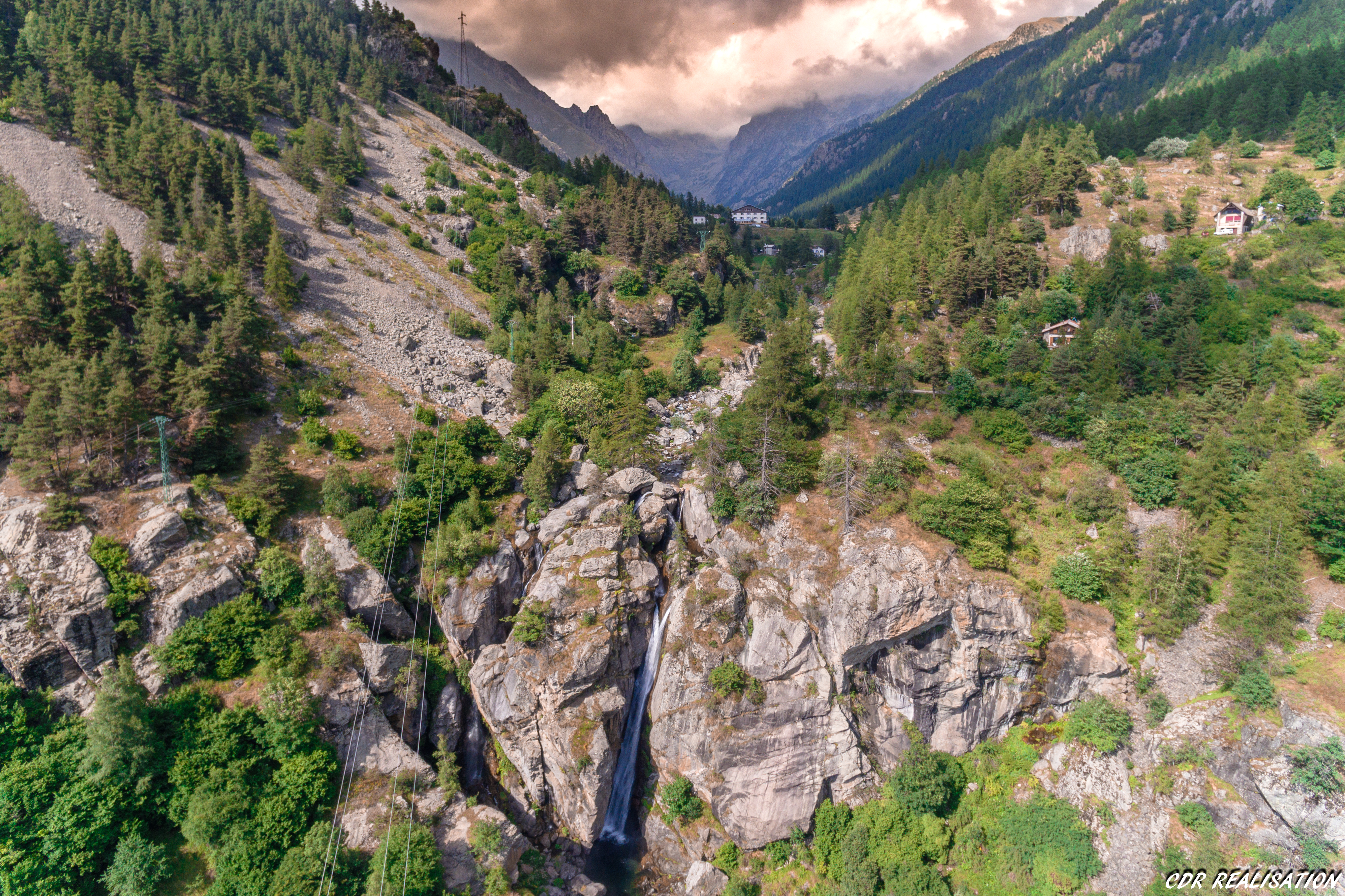
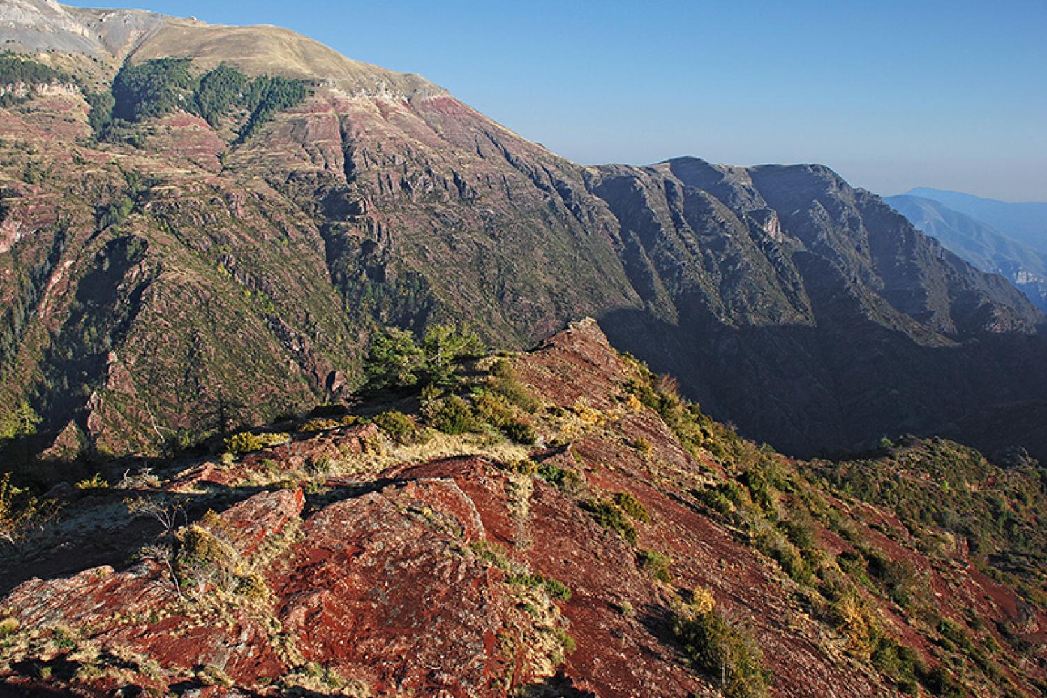
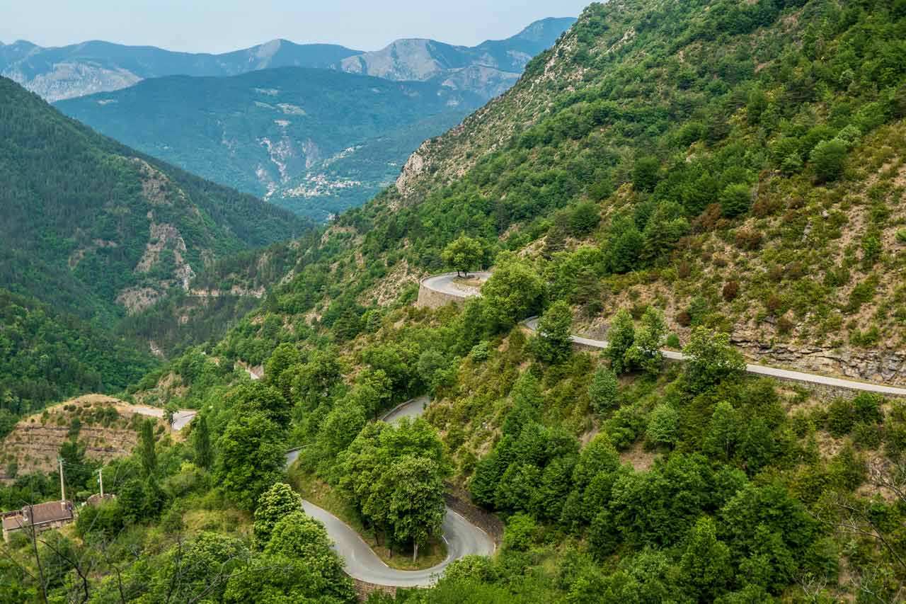
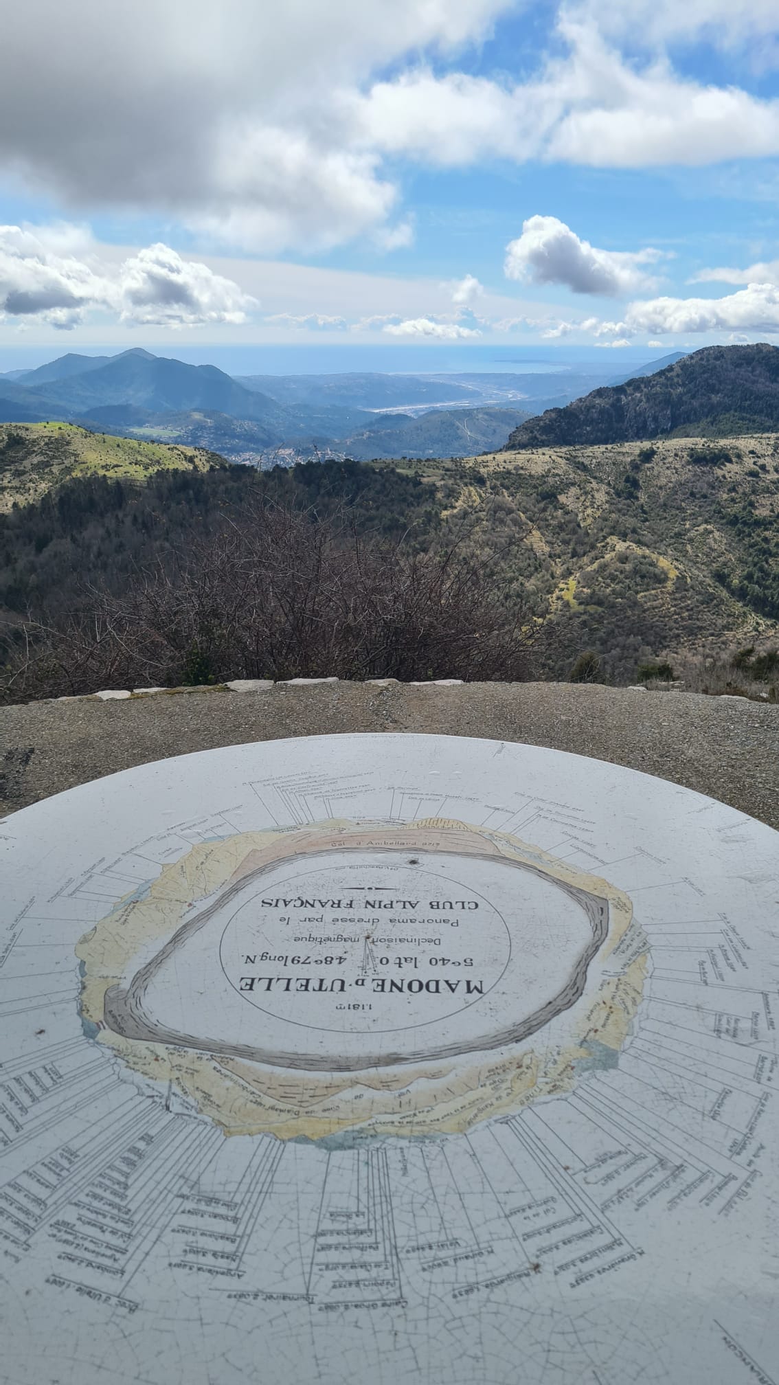
The Madonna of Utelle is a sanctuary and place of pilgrimage perched at 1194 m altitude on the Crest of the Madonna; a place of devotion where a crowd of regulars or tourists flock each year, the sanctuary of the Madonna of Utelle was founded in the year 850. Three annual pilgrimages take place from La Tour-sur-Tinée (Pentecost), Utelle (15 August) and Figaret d’Utelle (8 September). Beyond the historical interest, the crossing of olive groves and old countryside, then the meeting of flocks of sheep that winter in this area bring an agro-pastoral connotation to the route. At the top, a magnificent 360° view awaits you for a panorama that goes from the Mediterranean Sea to the peaks of the Mercantour National Park. But beforehand, you will have to earn it by making a climb of 15.8 km which offers nearly 900 m of D+ at an average of 6%.


Authion Historical Site

The Authion massif is a place steeped in history. Peaking at 2,100m altitude, with its 360° view over the entire region, its forts and its bunkers, it dominates the valleys of the Vésubie, the Bévéra, the Roya and the Paillon. The proximity of the Tende pass and the rugged relief give the site a great strategic importance. 

An afternoon walk in a magnificent place in the heart of the Mercantour National Park. A view over the entire region from the Alps mountains to the Mediterranean Sea. Accompanied on the main historical sites of the massif. Explanation on the history of the place and the battles that took place there.
 

Gordolasque Valley

The Gordolasque Valley is located near the Italian border. From the Vésubie Valley, it offers a confidential ascent to be done in round trip that climbs up to 1686 m altitude. The interest? Touch a piece of the wild world and take up a nice challenge over nearly 16 km at 7% average! From the Gordolasque, passage to the valley of Wonders, protected rock sanctuary with engravings revealed by supervised visits. The Gordolasque is a river in the Mercantour massif.

Route of the Great Alps (RGA)

We are located near the Col de Turini, descending from the Col Saint Martin, the last stop before Menton and the Mediterranean! By bike, motorcycle or car, it's up to you to decide which means of transport suits you best to discover this 720-kilometer tourist route that crosses the Alps French from north to south through 17 mountain passes including 6 over 2,000 meters in altitude. It starts from Thonon-les-Bains (on Lake Geneva) to reach Nice or Menton, accumulating 17,000 meters of elevation gain.